Circle the area on this map
B. Provincial leaders in Edmonton said the fire was burning out of control and would take months to extinguish. Established as a fur trading post in the late18th century, Edmonton has been been the capital of Alberta since it was formed in 1905.
D. The Athabasca sands contain large deposits of bitumen - a sticky, black and highly viscous liquid or semi-solid form of petroleum. This very crude oil is also called asphalt, and it is extracted by strip-mining with huge shovels or by injecting steam into the ground to force the oil to flow to extraction wells.
A. Calgary is located south of Edmonton and has a population of just over a million people. In 1988, Calgary became the first Canadian city to host the Winter Olympic Games.
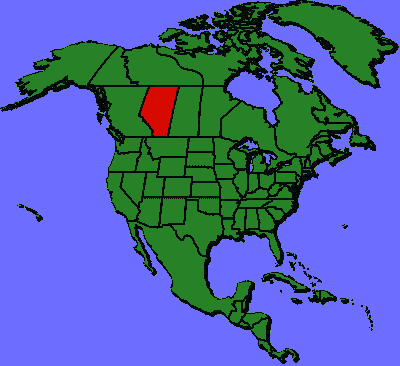
C. Alberta is bounded by the provinces of British Columbia to the west and Saskatchewan to the east, the Northwest Territories to the north, and the state of Montana to the south.